The newly-formed Emerging Technologies Combined Test Force (CTF) completed its first test high above Edwards Air Force Base in California on February 13, 2017. The test event supported the Portable Airborne Telemetry Boresight Innovation Project. The test was conducted for the 412th Range Squadron which wanted to see if it was possible to use a small unmanned aerial system to calibrate the range squadron’s telemetry (TM) antennas located on a hill east of Lancaster Boulevard.
The antennas are an important part of Edwards AFB’s flight test operations and are needed to transmit and streamline data from instrumented aircraft to testers on the ground. The antennas must be calibrated at least once a month.
“There are two methods currently used for calibrating the tracking function of our TM antennas,” said Steven Davies, 812th Test Support Squadron, program manager. “The first method uses the sun as a signal source. The sun is a fairly weak signal source that may not always provide a suitable signal for performing calibrations. The second method utilizes boresight towers located near the TM sites. These towers do not provide an optimal pointing angle for all TM antennas. Ground reflections and frequency interferers affect the use of the boresight towers.”
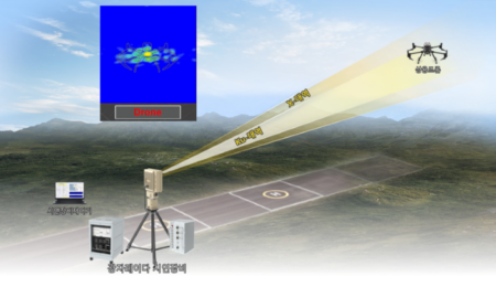
The overall test objective was to validate the use of a small unmanned aircraft system (sUAS) as a flying radio frequency boresight. A quadcopter was affixed with an antenna and transmitter, and was flown on three test sorties up to an altitude of 500ft above ground level and 3,000ft away from the antennas.
“The specific test objective that we were trying to meet was to determine whether the test aircraft has enough hover precision and signal strength for telemetry antenna calibration,” said Capt. Justin Merrick, ET CTF, lead engineer.
“The sorties were to test short- and long-range calibration utility in the L, S and C frequency bands. The short-range data will be used to compare to the boresight tower calibrations that the 412th RANS currently performs. The long-range data will be used to compare to the sun calibrations that RANS also performs.”
Test data collected included stability data from the quadcopter when hovering, calibration data, signal strength and time data to determine how long the calibrations took, as well as flight time and transit times, added Merrick.
“Our biggest challenge is pacing. Due to the short battery life [of the quadcopter], we must try and accomplish the test points, especially the transitions between points, as quickly as possible. On the flip side of that, we should make sure that we are not going so fast as to compromise the safety and efficiency of the test by making mistakes,” Merrick said.
Three flight test sorties were conducted, each one with a new battery plugged into the quadcopter.
“The quad is quite easy to pilot, it is GPS stabilized so the effort [to hover] is much lower than a racing-type quadcopter that you might see on TV,” Merrick added.
“The mission was successful, we met the success criteria in the test plan of obtaining one calibration in each band at both the short- and long-range distances. In some cases, largely depending on battery life and how long the calibrations took, we exceeded this criteria.”
Members of the 412th RANS hope the results of this test will pave the wave for more efficient antenna calibration procedures.
February 22, 2017
Edited by Michael Jones


